
Review the record
Examine titles, plans, prior survey evidence and the purpose of the survey.
Boundary and cadastral surveying
Licensed cadastral surveying for boundaries, titles, easements, adjustments and Land Transfer work.
Practical, coordinated delivery
Legal-boundary definition
Missing or disturbed boundary marks
Fencing and occupation issues
Easements
Boundary adjustments
Title defects and limitations
Land Transfer surveys
LINZ datasets and plans
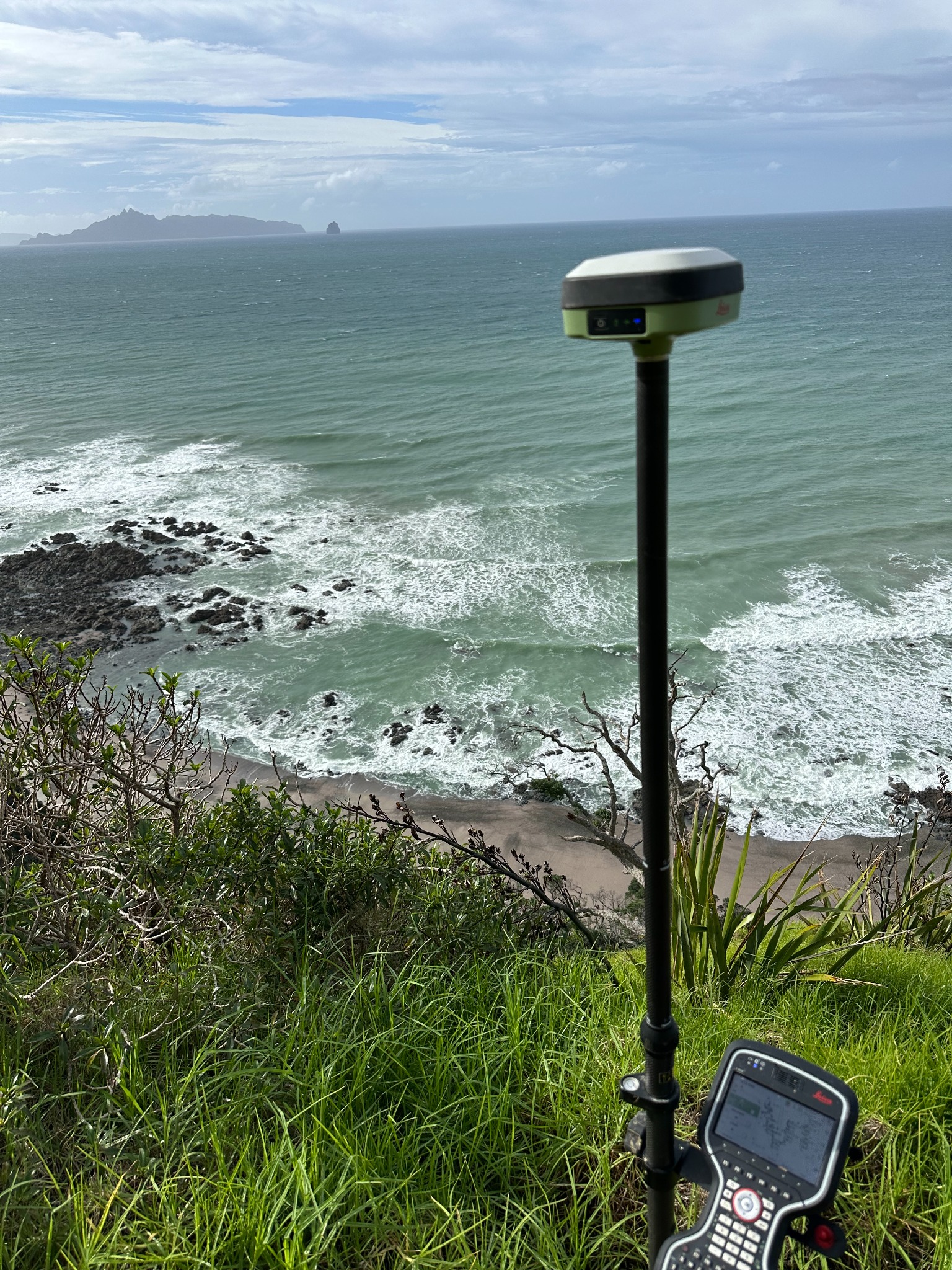
Surveying in the field
Accurate GNSS observations are one part of the evidence used to resolve boundaries. They are combined with title records, historic survey information, occupation and a Licensed Cadastral Surveyor’s professional judgement.
What to expect
Examine titles, plans, prior survey evidence and the purpose of the survey.
Locate relevant marks, occupation and site evidence with appropriate accuracy.
Apply cadastral rules and professional judgement to define the legal position.
Place marks, prepare plans or lodge a LINZ dataset where required.
Start with a conversation
Talk to us before making an expensive land decision.