
Confirm the purpose
Agree the survey area, required outputs and how the information will be used.
Drone surveys
Accurate aerial surveys, orthophotos, contours and site information for rural land, subdivisions and development projects.
Practical, coordinated delivery
Drone-based aerial surveys
High-resolution orthophotos
Terrain and contour information
Large and difficult site coverage
Rural land and subdivision surveys
Site information for planning and design
Construction and development support
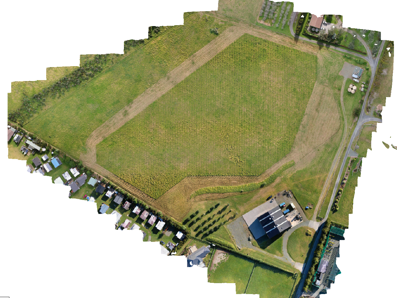
Brewery and vineyard survey
The brewery survey demonstrates how aerial imagery can record landform, vegetation, buildings, access and surrounding development context across a substantial site.
What to expect
Agree the survey area, required outputs and how the information will be used.
Review the site, access, ground control and flight requirements.
Collect the aerial imagery and process it into coordinated site information.
Provide orthophotos, terrain information, contours or other agreed outputs for the project team.
Start with a conversation
Talk to us before making an expensive land decision.